Work built with Python — view everything.
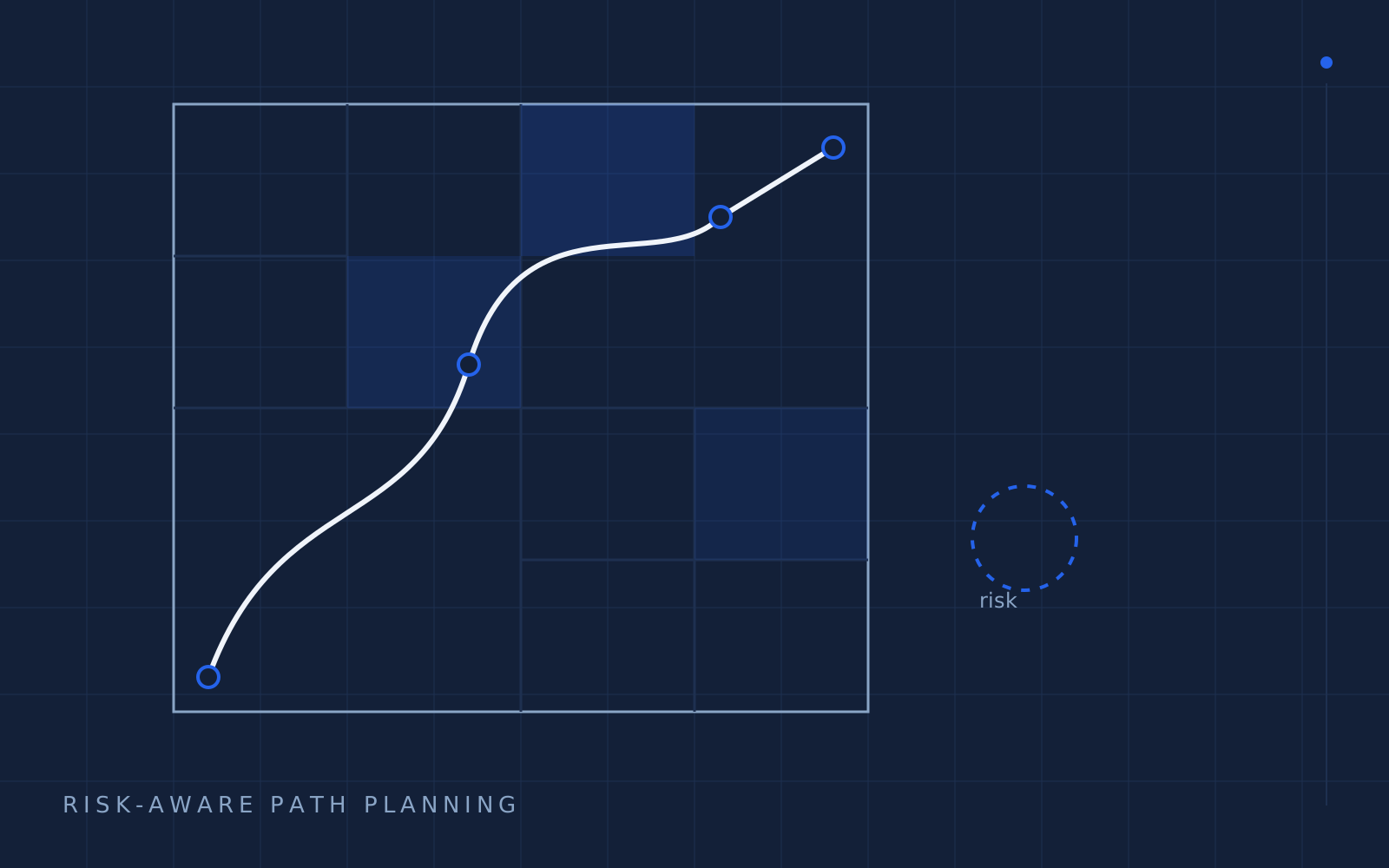
Multiresolution UAV risk-map path planning — a layered quadtree, risk-aware A*, and a simulator built for a master's thesis.
Python / Cesium / Unity3D / NumPy
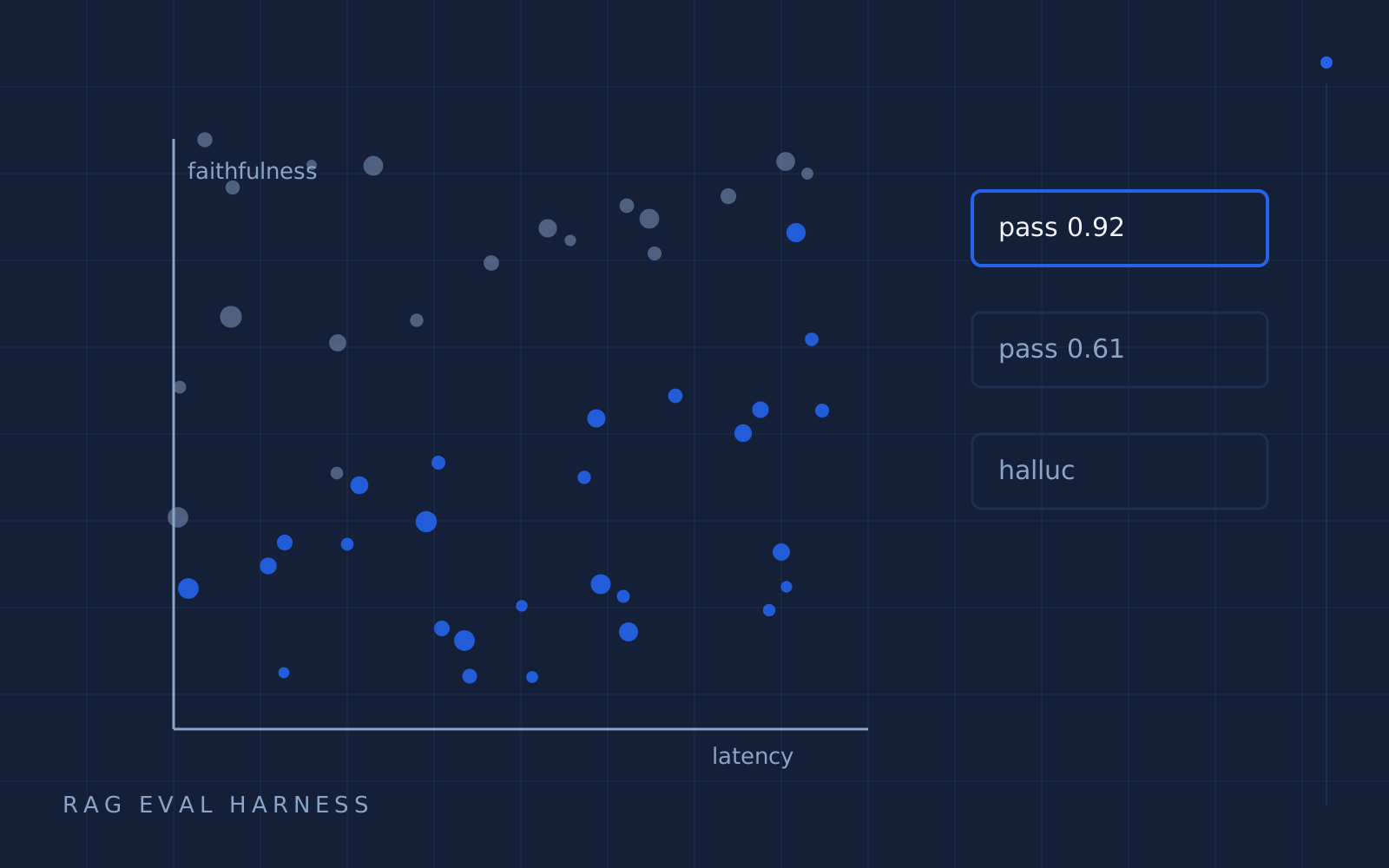
An evaluation harness that turns "the demo looked good" into a merge gate — golden answers, faithfulness scoring, and regression history.
Python / pgvector / PyTorch / Docker
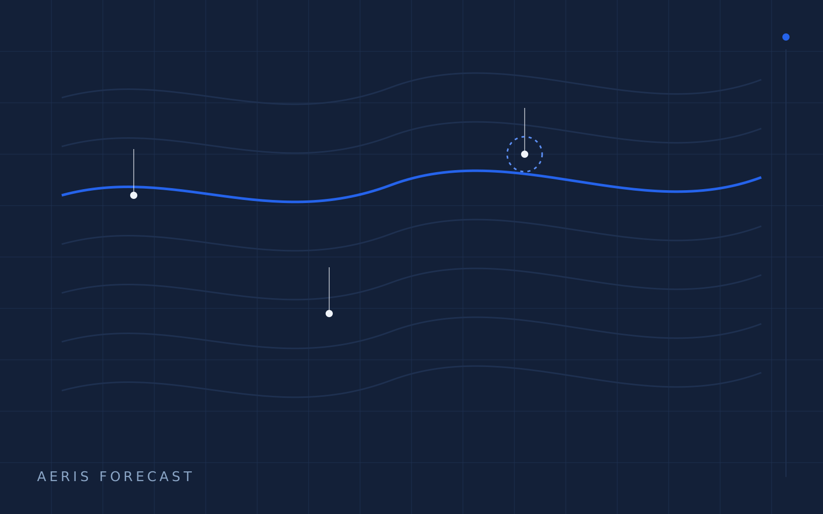
A personal weather pipeline for pilots and crews — multi-resolution gridded forecasts, PostGIS queries, and a map you can actually read at 30,000 feet.
Python / PostGIS / Cesium / MapLibre
Pick a tool to filter this list.