2025 · Researcher
Risk-Aware Path Planning
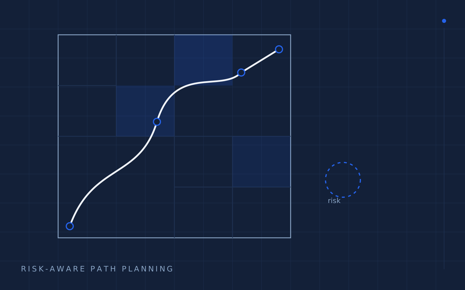
Multiresolution UAV risk-map path planning — a layered quadtree, risk-aware A*, and a simulator built for a master's thesis.
- routes simulated
- 27k
- routes simulated
- less time in high-risk cells
- 41%
- less time in high-risk cells
- resolution layers
- 3
- resolution layers
Reactions
My master's research asked a stubborn question: when a drone flies farther than anyone can see it, how should it choose a route that minimizes the damage of being wrong?
Shortest-path is the wrong objective. In controlled airspace, a 3 km route that grazes a hospital helipad is worse than a 5 km route around it — even if the long one is "safe" at the level of meters. Risk is not binary. It has altitude, population, weather, and a time of day.
The core idea: spend resolution where consequence lives
A uniform grid forces one resolution everywhere. Fly over an empty field and you still pay per cell. Fly over a stadium and you still get one coarse "medium risk." Both are wrong.
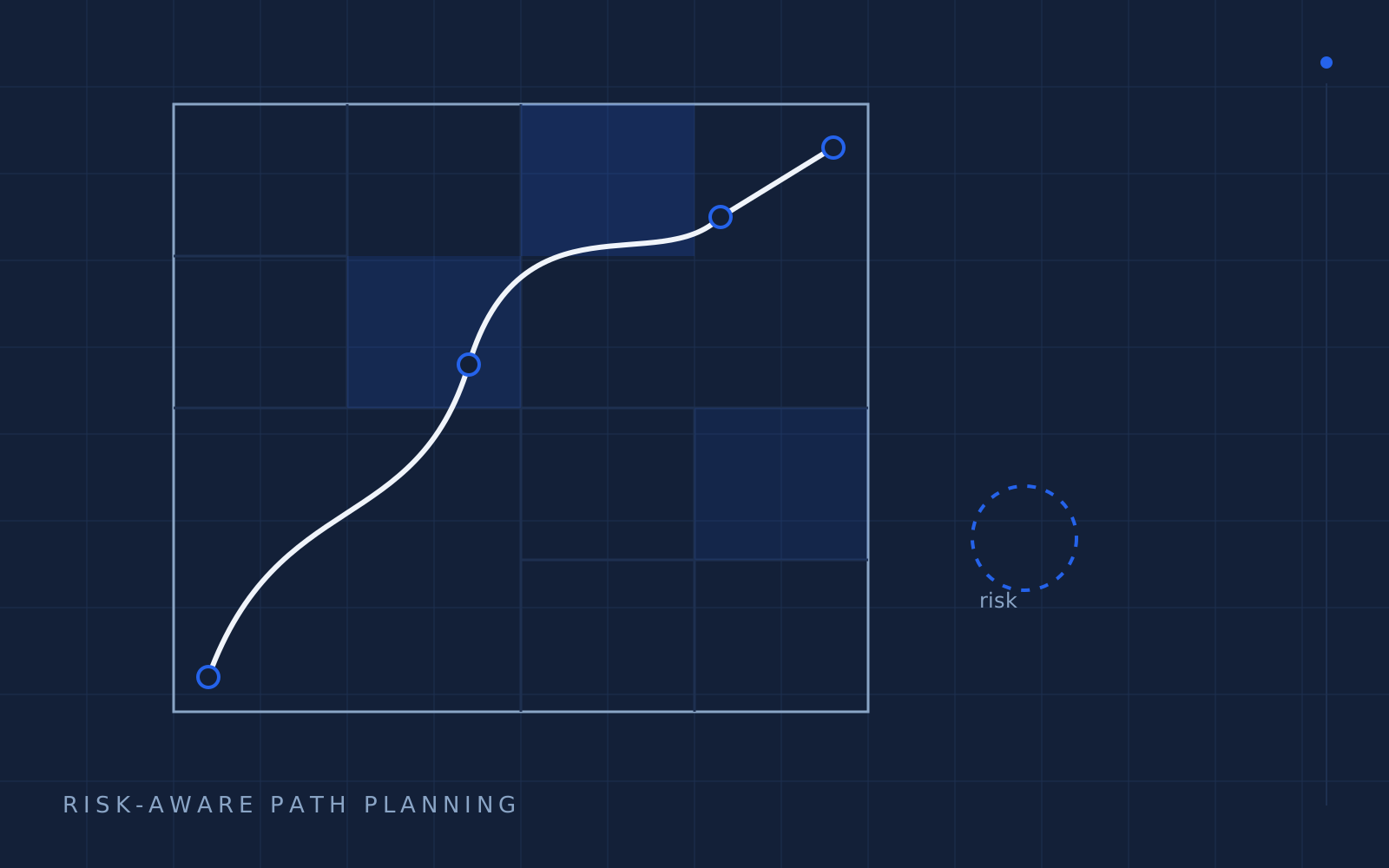
The framework stores risk in a layered sampling quadtree: dense where the world is dense, sparse where the world is boring, and every level of the tree is queryable at flight time.
L0  ▣ 5 km cells      — corridor-level weather, terrain mask
L1  ▣ 500 m cells     — population, NOTAM regions
L2  ▣ 50 m cells      — no-fly polygons, obstacles, gyms with cranes
Risk at a point is an interval: the coarse layers give a trend, the fine layers give a confidence width. The planner never sees a single optimistic number pretending to be truth.
Risk-aware A*
The planner is A* over a 3D graph with a cost function that reads the quadtree interval — not just the mean. The weighting is where the research lives: how much to pay for variance versus expected exposure.
| Cost term | Plain A* | Risk-aware | | --- | --- | --- | | Distance | ✓ | ✓ | | Expected exposure | — | mean risk × time in cell | | Uncertainty | — | interval width penalty | | Hard constraints | point queries | tree-consistent volumes |
Why a simulator and not just a solver
A planner people can't watch is a planner people won't trust. The second half of the thesis was a Cesium/Unity visualization where routes fly against live terrain and airspace layers — the same interface later doubled as the defense-demo stage.
What transferred to industry
- Interval reasoning beats point estimates in production autonomy — the same discipline behind honest confidence in any perception stack.
- Resolution is budget: store truth at the granularity the decision actually consumes, not the granularity available.
- Visual proof sells algorithms. Every reviewer could watch the route fail gracefully around a stadium instead of reading a table.
The full thesis lives at the University of Calgary repository. Happy to walk anyone through the quadtree math — that's what the contact page is for.
Related work
ServiceMenu
Interactive service pages for service businesses — built without code, shipped on real URLs.
Next.js / TypeScript / PostgreSQL / Tailwind CSS / Stripe
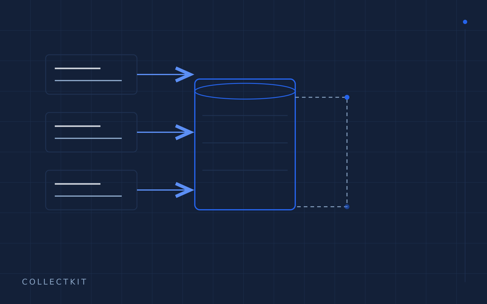
CollectKit
Field data collection that works where the signal doesn't — offline-first capture, typed schemas, instant sync.
Expo / React Native / FastAPI / PostgreSQL / PostGIS